More than pins on a map
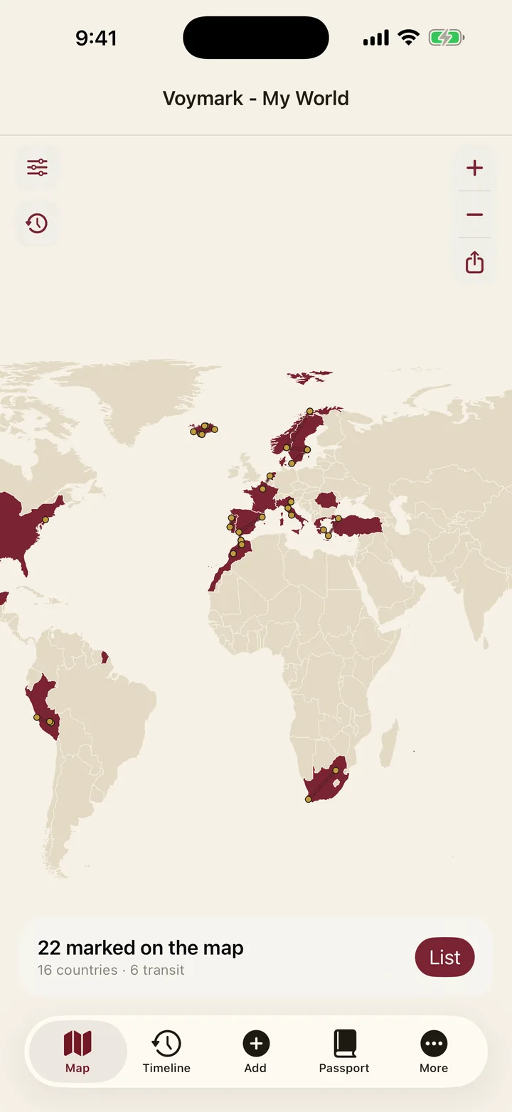
A travel map should remember journeys, not just places. Voymark layers your stamped countries, every trip's route, the cities you've marked and the spots where your photos were taken — and lets you toggle each layer on and off.
Two styles, one atlas
Choose a clean, modern Atlas or an aged Paper map that looks pulled from an old expedition journal. Both ship inside the app, work in airplane mode and animate your routes country by country.
Yours alone
This is your map, not a feed. It lives on your phone, needs no account, and leaves your device only when you export or share it yourself — as a share card, a PDF travel book or an open-format file.
Watch it fill in
Drag the year slider and the world recolours to exactly where you had been by then — a map of 2019, of 2015, of the year you first left the country. The whole passport exports as a vertical film headed with your name: a second and a half per year, capped at thirty seconds, countries stamping in on their real dates and routes drawing themselves across the paper.
From the whole world down to one street corner
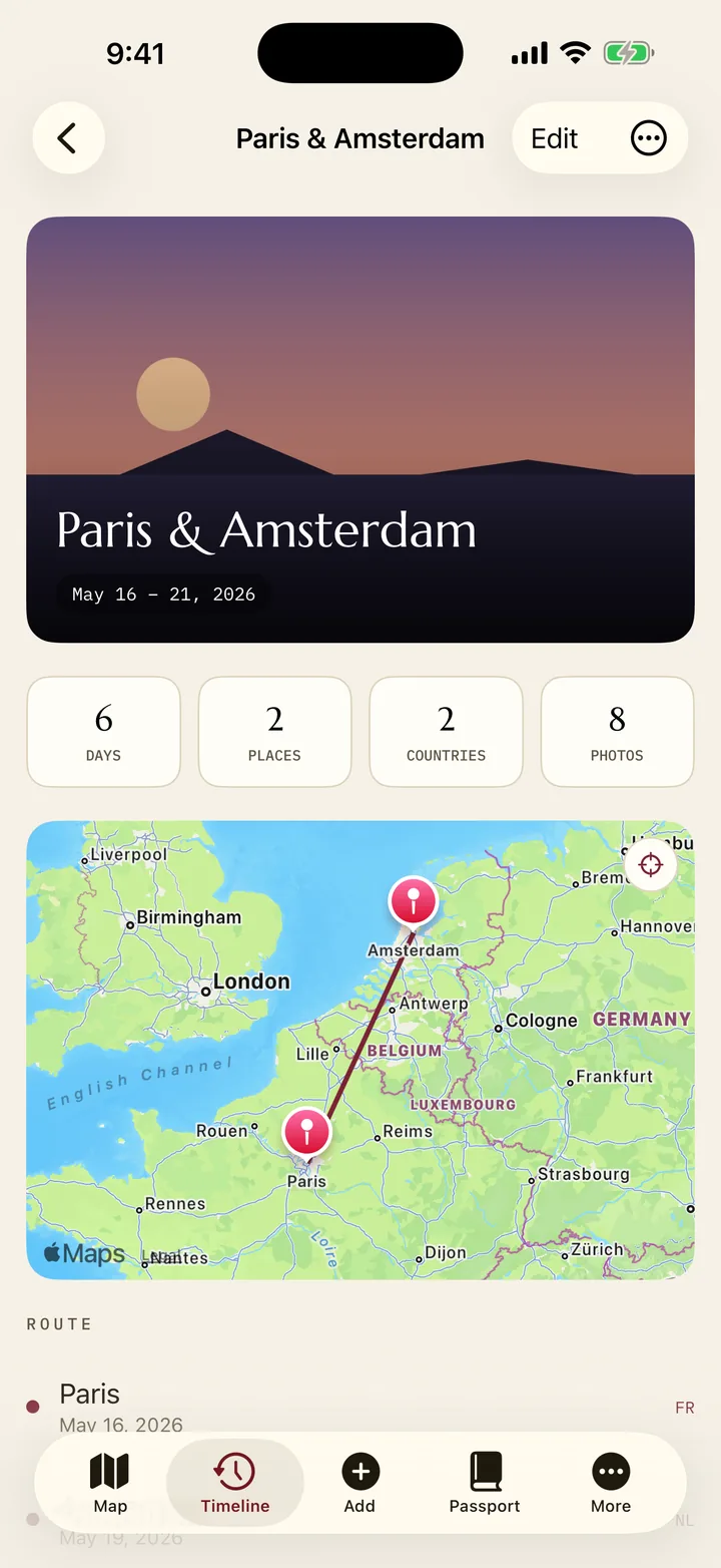
Zoomed out, the map is a passport: burgundy where you have been, gold where you want to go. Pinch in and it becomes a record of a single afternoon — the cities you marked, the route between them, and a gold dot for every place a photo was taken.
Tap a gold dot and the photo opens full-screen. Every layer — countries, routes, cities, photos — has its own switch, so the map can be a clean atlas one minute and a dense diary of one week the next.
It never asks where you are
Voymark requests no location permission at all — not once, not in the background. There is no GPS log, no live tracking, nothing following you between trips. The map knows where you have been because you told it, or because a photo you already had carried the coordinates.
That is why the whole map works in airplane mode: the borders, the labels and the region outlines are files inside the app, not tiles fetched from a server that would learn what you are looking at.